The Impacts Of El Niño On A Warming Planet
Experts warn that there is also a higher possibility of a positive IOD (Indian Ocean Dipole Movement)

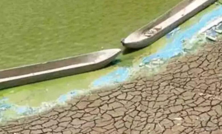
PIC COURTESY : Hindustan News Hub
First described by fishermen in the late nineteenth century as warm ocean waters around Christmas time that disrupt fishing conditions, El Niño is a natural climate phenomenon in which sea surface temperatures in the tropical Pacific are warmer than average. Under normal (or neutral) atmospheric conditions, trade winds – the east-to-west winds that blow along the earth’s equator – transport warm water from South America to Asia, which is then replaced by cooler water from lower depths. This process, referred to as upwelling, brings nutrients to the surface water, creating fertile fishing grounds.
During an El Niño event, the trade winds weaken, causing warm water to accumulate in the Pacific Ocean. By contrast, when the trade winds are strong, the opposite happens and more warm water is transported to Asia – called a La Niña event. These two opposing processes – El Niño and La Niña – make up the El Niño-Southern Oscillation (ENSO) cycle.
The latest El Niño forecast, issued in June this year by the National Oceanic and Atmospheric Administration, states that El Niño has started and is expected to gradually strengthen during the Northern Hemispheric winter of 2023-2024. There is a ±56% chance of a strong El Niño and an 84% chance of a moderate El Niño.
According to Zero Carbon Analytics-It is more likely that global average temperatures will temporarily exceed 1.5°C above pre-industrial levels for the first time in human history between 2023 and 2027. During an extreme El Niño event, an extra 0.2°C could be added to the average temperature of the earth on top of elevated temperatures due to global warming. The first year that we see average temperatures exceed 1.5°C could be during El Niño. While this would not mean that the Paris Agreement target has been transgressed, it is a reminder that we are getting closer to this threshold.
Countries and ecosystems are already experiencing climate change-induced impacts, such as heatwaves, droughts and floods, and El Niño is likely to make these impacts worse. It has also been suggested that continued global warming is making it increasingly difficult to predict El Niño events.There is a growing consensus that human-caused warming is at least partly responsible for the changes in ENSO variability since the 1960s.
Record high sea temperatures in April this year may also worsen the upcoming El Niño event. We are likely to see record-breaking temperatures with this year’s El Niño, which is occurring against a backdrop of a warming earth – the last eight years were the world’s hottest on record. The hottest of these was in 2016 during one of the strongest El Niño events on record, which saw unparalleled coral heat stress in the world’s oceans resulting in extensive coral bleaching and die-off. ‘Pulse heat stress’ events, such as El Niño, may compound climate change-related stresses on humans and other organisms, with potentially irreversible consequences.
Key Points
- El Niño is a natural climate phenomenon, typically lasting 9-12 months, that has been linked to crop failures, more frequent wildfires and concurrent droughts, increased flood risk, disruptions to fisheries, elevated civil conflict and increased disease risk in various regions
- Present forecasts predict an 84% chance of at least a moderate El Niño and a ±56% chance of a strong El Niño for 2023-2024
- The first year that we see average temperatures exceed 1.5°C could be during El Niño. While this would not mean that the Paris Agreement target has been transgressed, it is a reminder that we are getting closer to this threshold
- The frequency and severity of El Niño events increased in the latter part of the 20th century, and climate change is projected to further increase both, as well as making these events more difficult to predict
- El Niño involves complex interplay among various atmospheric phenomena, making its impacts difficult to predict. However, it is associated with some general weather trends around the world, including:
a) Increased rainfall and flooding risk in East Africa, northern Mexico, the southern US, Peru and Ecuador
b) Elevated fire risk in Indonesia, Australia and the Amazon
c) Drought conditions in India, southern Africa, the Philippines, Indonesia, the Amazon and Australia
d) Warm conditions in Canada and the northern US
- Countries and ecosystems are already experiencing impacts from climate change, such as heatwaves, droughts and floods, and El Niño is likely to make these impacts worse.
In East Africa, El Niño conditions tend to result in wetter ‘short rains’ (the second rainy season in November and December), which can cause flooding. In southern Africa, the exact opposite is anticipated with drier than average conditions are expected under El Niño, resulting in decreased maize yields. In Kenya, the higher rainfall associated with the 2015-2017 El Niño cycle increased maize production by 17%, while drought conditions in southern Africa during the same period reduced maize yields by up to 50%, caused the death of around 634,000 cattle, and resulted in more than 20 million people needing humanitarian aid. During and after El Niño events, cholera incidence has been found to increase threefold in El Niño-sensitive areas in East Africa due to higher rainfall.
For India, An assessment of rainfall trends over 132 years in India shows that severe droughts in the region have always been during El Niño years. Experts warn that there is also a higher possibility of a positive IOD ( Indian Ocean Dipole Movement) occurring, in which there is a difference in sea surface temperatures between the western and eastern Indian Ocean, which brings drier conditions to the eastern Indian Ocean (in the region of India) but wetter conditions to the western Indian Ocean (in the region of eastern Africa).
In Java, Indonesia, El Niño tends to decrease rainfall. Decreased rainfall during El Niño periods has been linked to increased forest fires in Indonesia and reduced rice yields on Java. where more than 50% of the country’s rice is grown. In the Philippines, El Niño is associated with a decrease in average rainfall and elevated drought conditions, particularly during December to May.
The writer of this article is Dr. Seema Javed, an environmentalist & a communications professional in the field of climate and energy


